The PARTIAL FIGURE 8 is a PROMINENT Development on BOTH LAND and RIVERS; it will be COMPARED to others in my COLLECTION. Shown will be the one SEEN on Ceres (Largest LaGrange line on Earth is 16,000 km, or .4 times Circumference). Vapor jets on Ceres appear at this FRACTIONAL Relation!

Mississippi River CONFLUENCE with the Ohio:


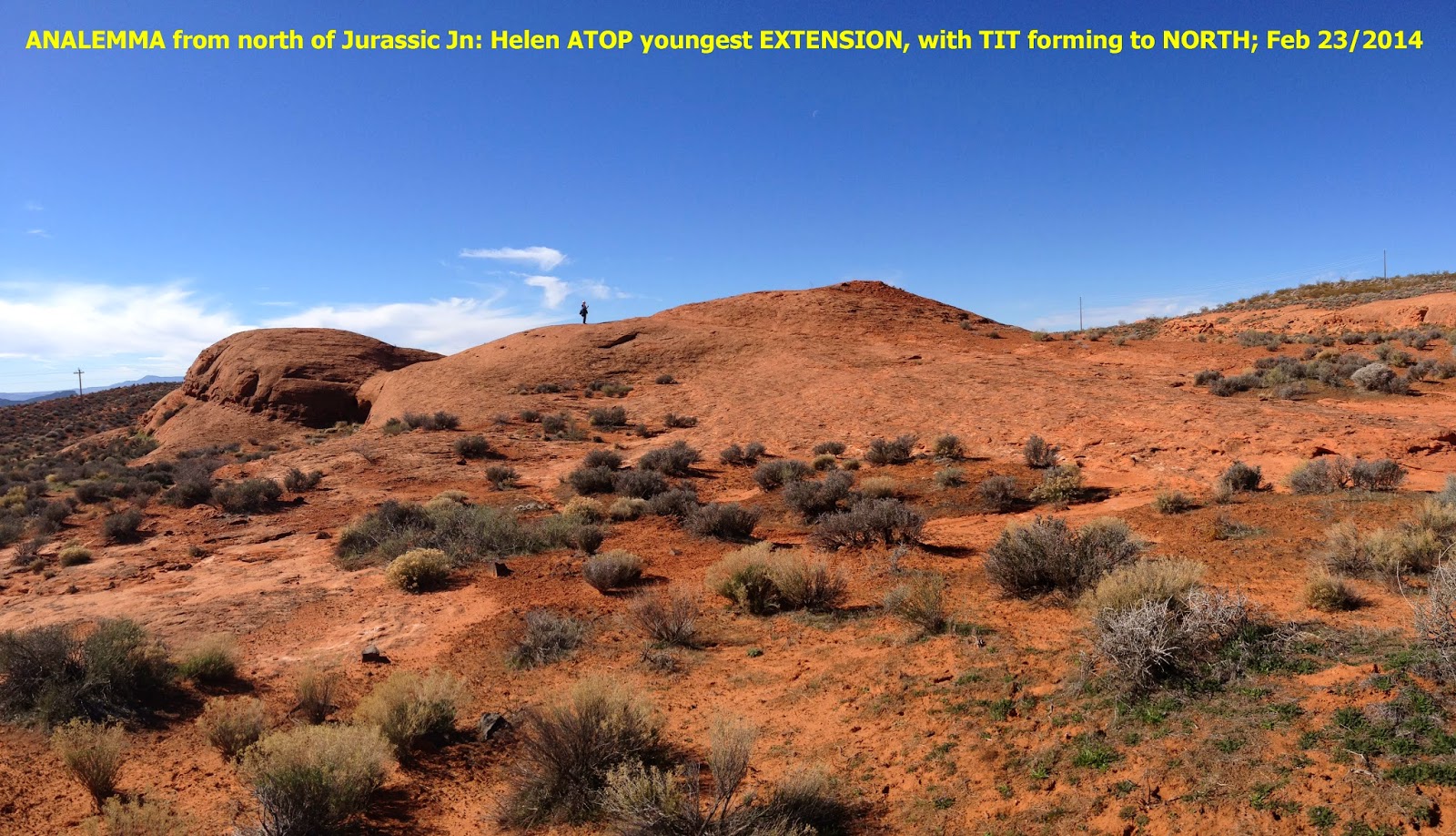
The one most easily HIKED and viewed is at the Hurricane FAULT, Hf, and the Virgin River:

FIGURE 8 at Hf and the Laverkin Virgin River:

ENLARGED:

The Virgin River ERODES the OUTER BANKS, so that EROSION "eats" the NORTH BANK to the RIGHT, and the South Bank to the LEFT; this forms a CLOCKWISE ROTATION of the Canyons, with TIME! CW entails a SINKING Development!
Figure 8 is shown for an ERODED MESA:

DIVIDER measured::


VIEW from the South:

FROM NORTH
ENLARGED NORTH End:
ANALEMMA encompasses a FIGURE 8: 
Ceres is an ORB, which exhibits 2 BRIGHT SPOTS, and the PHOTOS are becoming more CLEAR as the survey APPROACHES, Vesta encountered First:

CERES Compared to our Moon:

BRIGHT SPOT in a SUBSEQUENT diagrammatic PHOTO:

CLOSER:

NOTICE that the 2 "BRIGHT SPOTS" appear to be inside a CRATER. This is NOT NECESSARILY a Strike Crater, since there are 3 other CATEGORIES of CIRCULAR HOLES:
2. SINKHOLES, as with LIMESTONE CAVES;
3. Gravitational HOLE with a SLICE, and,
4. VOLCANIC, and Phreatic (Steam driven) may be in this Category!

Watch for the "SLICE" as closer views are available!
"BRIGHT SPOT" will be UP-DATED as photos are taken CLOSER.

A faint SLICE can be seen with N-S orientation, above.
LABELLED, for Crater LOCATION:

ARCUATE Feature, with a CENTER HOLE, is NOT necessarily an IMPACT Feature!

Ceres in a 5/19/2007 Photo, above, shows Spots and ARCUATE Scribes. Below are more recent Photos:
Ceres WHITE SPOTS form a TRIANGLE:

FURTHER DISTANT:

CLOSER:

LENGTHWISE:

TRIANGULAR Crater arrangement (in Center) awaits enlargement! White Duo remains in the LaGrange Point #1 position!
LOOKING at Earth from SPACE, the COLORADO PLATEAU and the lesser Basin Range is SIMILAR, with a SLICE (Hurricane, Wasatch Fault) between Cp, B and R- where CP is "RAISED: and BR has SUNK! TOGETHER, this forms a HOLE- SLICE- SINK to the West:

Cp is OUTLINED in Yellow, with Basin and Range to the WEST, above.
Lake MALHEUR, OR:

NOTICE the CONTRAST between WHITE EVAPORITIC DEPOSITS and the seasonal fresh water LAKE:

NOTICE the WHITE SPOT- which in this CASE is a "DRY LAKE"!
Turkey's Tuz Gulu is another EVAPORITIC BASIN, exhibiting a "White Spot":

ENLARGED

WIDE:

Another is Lake Frume in South Australia, which has a Ratio of 1.291 for its Orthogonal Measurements::

Ratio of the SINK/UPLIFT is 36/26=1.3846, (V/S);
Reverse "S" indicates SINKING, as Contrasted to S- which is for RISING, Normally! Anomalies are indicated for EXCEPTIONS, and they should be further Investigated:
Easily seen is how METAMORPHISM develops; when POROSITY REDUCES to Zero, SHALLOW METAMORPHISM BEGINS!
2 comments:
Ceres Asteroid has 10.58 degrees Inclination; 2.077 Density; 446,528,973 km aphelion; closest View Mar 6/2015
Ceres, March 6, is TILTED such as to NOT show the 2 "White Spots"! Late April will allow Closer Views!
Post a Comment