


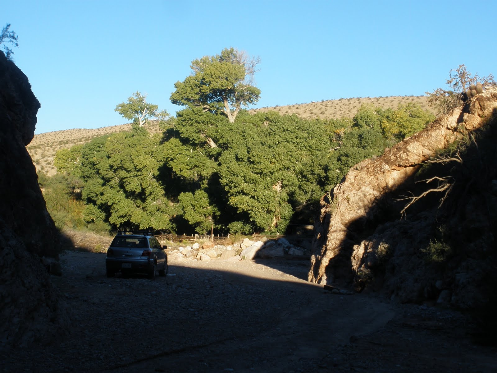
ABOVE IS THE LOCATION MAP FOR THE TERMINATION OF A DRIVE TO LAKE MEAD, WHERE THERE ARE NO FACILITIES, BUT THERE IS A GREAT VIEW OF THE EDGE-OF-THE CP THIRD CONCAVE-EASTWARD CCW ROTATING (RIGHT LATERAL) PARASHANT FAULT. HOPEFULLY WE WILL FIND SLICKENSIDES ON A RIM TO CONFIRM THAT THIS IS INDEED RIGHT-LATERAL. TENTATIVELY, I FIND THAT THESE LARGE N-S EXTENT FAULTS ARE A REACTION TO LARGE ASTEROID STRIKES IN THE NORTHERN HEMISPHERE (KT: SEVIER, EO: HURRICANE, AND THIS ONE AT 28 OR 41 M.Y.:


THERE ARE 3 LARGE CONCAVE-EASTWARD FAULTS NEAR THE WESTERN EDGE OF THE COLORADO PLATEAU. SHOULD THESE BE DISPLAYED IN TERMS OF LENGTH, AS CORRELATED WITH SIZE OF LARGE ASTEROIDS, THEN THE SEVIER (LONGEST, FARTHEST EAST)WOULD HAVE OCCURRED AS A RESULT OF THE KT STRIKE, FOLLOWED BY THE 41 M.Y. STRIKE (AS SHOWN EXTENDED FROM MENDOCINO, CA TO THE MEASURED KIMMEI SEAMOUNT) AND THIS 0NE OCCURRED IN LATE EOCENE TIME- SHOWN BY THE ROTATION OF EOCENE SEDIMENTS AT 0LYMPIC PENINSULA, WA (SHOWN IN AN EARLIER SUBMISSION). THE LATEST LARGE ASTEROID STRIKE IS AT 28 M.Y. (SHOWN IN THE HI-E SEAMOUNT CHAIN AT MIDWAY ISLAND). THESE ARE SHOWN BELOW, AND I AM PREPARING A FIELD EXCURSION TO LAKE MEAD, ON THE NV BORDER, WHERE THE PARASHANT CAN BE SEEN CLOSE- HAND. HOPEFULLY, WE WILL FIND LATERAL SLICKENSIDES AND LATERAL SHEAR, SO THAT WE CAN RELATE THIS ONE TO A ROTATION CCW ABOUT THE VIRGIN MOUNTAINS AND OTHER UPLIFTS SOUTH OF THE VIRGIN RIVER:


NOTICE THAT THERE ARE SEVERAL ANOMALIES WHICH CAN BE INVESTIGATED IN THE FIELD, AND I HAVE ALREADY PHOTOED SOME OF THESE NEAR THE VIRGIN RIVER BEND (WASHINGTON CITY, UT) ANOMALY- WHICH I FIND SO FAR IS THE RESULT OF AN ASTEROID STRIKE AND POLAR WOBBLE. NOTICE THAT THE BEND OCCURS ALONG THE PATH OF THE EXTENSION OF THE GRAND WASH FAULT- WHICH I HAVE PROJECTED, INFLUENCES THE STRATIGRAPHY TO HUDSON BAY, WHERE THE ASTEROID STRUCK:
 WE WILL CAMP AT THE NORTH PART OF THE GRAND WASH BAY, WHERE THE FAULT CAN BE SEEN AS A LINEAR (LATERAL THRUST, WITH DISPLACEMENT DOWNWARD TO THE WEST) TRENDING N33E FROM THE WATER. THIS IS TRACED BY ME (NOTE THE GOOGLE STRAIGHT LINE) TO HUDSON BAY, WHICH IS NEAR SEVERAL ASTEROID STRIKES- ALREADY IDENTIFIED AS TO AGE AND CRATER SIZE. THE KT IN GULF OF MEXICO IS NEAR 100 KM DIAMETER, SO THAT A SMALLER STRIKE WOULD LEAVE A SMALLER CRATER (EO of 50 KM?). OTHER GEOLOGICAL ANOMALIES ALONG THE WAY, WE HAVE INVESTIGATED AT OTHER TIMES ALREADY. I HAVE RELATED THE VIRGIN BEND TO THE PATH OF THE STRIKE AND SUBSEQUENT POLAR WOBBLE INFLUENCE. I WILL CONTINUE TO RELATE THIS STRAIGHT LINE PATH (LINEAR STRESS FEATURE DUE TO AN ASTRONOMICAL MECHANICS' OCCURRENCE) TO OTHER ENTITIES ALONG THE WAY, BUT IT IS ENOUGH FOR NOW TO NOTE THAT THE VIRGIN SHARP BEND TO THE RIGHT IS RELATED TO SOME ASTEROID STRIKE NEAR THE HUDSON BAY. WE CAN'T ELIMINATE THE POSSIBILITY THAT THE 28 (MIOCENE) M.Y. STRIKE HAS EXAGGERATED THIS PRESENTATION:
 CLOSEUP, ONE CAN SEE FEATURES, WHICH ARE NECESARY TO INVESTIGATE IN THE FIELD:


Grand Wash- Parashant NM, AZ field trips
The fieldwork for the drive to the Grand Canyon-Parashant NM is to determine whether there is influence of a Tertiary asteroid strike on the Grand wash cliffs and valley. This will be proved using a larger view of the region, comparing it to earlier strikes which are likely to have created the major departures of the Colorado river from its general westward course. The features already investigated include the Hurricane fault, Hf, the Sevier fault and its drainage patterns to the Canyon, and the initiation of the uplift of the Colorado Plateau near Zion NP.
The main feature stimulating this investigation is the sharp bend in the Virgin River, near the Washington fault and landfill- which fault has been exhumed by geologists near the anomalous hill known as Shnabkaib. This hill sits just to the north of the Virgin, and it is tilted (as part of the Virgin anticline, but more importantly that it demonstrates northward push and shearing of a slab of concrete atop it- indicating that there is left-lateral faulting along the WA fault). The river bend is essentially orthogonal, that is, it represents a discontinuity in the river path- especially so due to its crossing the uplifted Virgin anticline at that location. Downstream, the Virgin flows inside the breached anticline, whereas previously it ran on the NE side of the NE limb of the compressive feature.
Most importantly for this investigation is the occurrence of a pattern of drainages into the Virgin which are similar to that for a previously analyzed spiral- the Aleutian Spiral, which has been determined to have been imprinted by the various wobbles since the KT strike in the Yucatan (Chicxulub). This pattern occurs on and below Sand Mountain, near the WA City landfill and dam on the Virgin River. The pattern may be seen in previous photos of the Aleutian Spiral and that for Central America, and Jan Meyer Ridge north of Iceland (enough for me to have confidence that it represents the imprinting history of POLAR WOBBLES SINCE THE MESOZOIC KT BOUNDARY.
Although the WA fault appears to be left-lateral, the Grand Wash and Ridge, along with other major faulting on the western edge of the Colorado Plateau, are right-lateral. I intend to solve this departure, but tentatively it appears that the 41 m.y. asteroid strike influencing the northern hemisphere has counter-acted shear directions from previous asteroids.

This may be part of the reason why the WA fault is left-lateral, but firstly, I must sort out the various influences on the Virgin River bend, since the spiral pattern has an imprinted history of all three major strikes since KT- similar to that in the Aleutian Spiral.
 Another feature is that of scale, where the Aleutian spiral has dimensions on the order of 400 km and the Sand Mountain has only 1-2 km extent (Central America has dimensions of 700 km). My overall conclusion is that all of this must be part of a larger pattern, to convince the skeptics. The Crust must show consistency in its reaction to asteroid strikes, as well as how the crust reacts with Coriolis rotations about any thrusting or linear slicing, how it raises highlands or mountains in reaction to strikes, and how it creates bulges in the earth’s surface after having major mechanical shock.
I HAVE VIEWED SEVERAL BOX CANYONS BELOW, TO DETERMINE THE LOCAL SPIRALING AND SHEARING OF WALL ROCK:
 BELOW IS THE MESOZOIC ROCK FACE IN THE BOX CANYON, ILLUSTRATING THAT THE EROSION RATE IS NOT ABLE TO KEEP UP WITH THE PROGRESSION OF THE SPIRAL CLEAVAGE RATE. THE HEAD OF THE CANYON REPRESENTS THE LATEST WOBBLE- THE MOVEMENT UPWARD (CCW REBOUND FROM EARLIER ICE, IN THE NORTH OF NA, SINCE 14,000 YEARS AGO):
BELOW ARE PHOTOS OF The FEATURE, WHICH INDICATES VARIOUS ROTATIONS AND SHEAR PLANES AS THE EARTH WOBBLES FROM ITS MONTHLY EARTH-MOON CENTER-OF-MASS GYRATION, TO EXTREME FEATURES DERIVED FROM LARGE AND SMALLER ASTEROID STRIKES. TO SEE ALL OF THE GROUNDWORK NECESSARY TO DETERMINE WHICH DRAINAGES AND ROTATIONS ARE DUE TO THE VARIOUS CELESTIAL MECHANICS' MOVEMENTS, YOU WILL HAVE TO SCROLL THROUGH SEVERAL SUBMISSIONS MADE IN THE LAST TWO YEARS, ON THE BLOGSITE: www.PorOgle.blogspot.com.

 BELOW IS A DIGITAL PHOTO OF THE SPIRAL DOWNWARD NTO THE BOX (CW) AND THE RISE OF THE WALLS WHICH ARE ROTATING OUTSIDE OF THE SINK:
 I am simultaneusly investigating the large faults of the Colorado Plateau, CP, WHICH YIELD CLUES AS TO THE INFLUENCE OF POLAR WOBBLE. BELOW IS A PHOTO, WHICH TENTATIVELY INDICATES THAT THE PARASHANT FAULT- ON THE EDGE OF THE TRANSITION ZONE OF CP, IS A LEFT-LATERAL FAULT (WHERE I HAVE OBSERVED OTHERS TO THE EAST ARE RIGHT-LATERAL. THIS DILEMMA REQUIRES FIELD IMNVESTIGATION, AND WILL PRODUCE MORE ANALYSES AND PHOTOS IN THIS AND OTHER OLDER BLOGS:
FROM FIELD INVESTIGATIONS, IT IS TRUE THAT THERE ARE BOTH LEFT AND RIGHT-LATERAL FAULTS NEAR THE GRAND WASH- LEFT TO THE WEST, AND RIGHT AT THE MAIN FAULT TO THE EAST. THESE ARE SHOWN IN PHOTOS BELOW, AND WE WILL DETERMINE THE MEANING OF THIS BIFURCATION:

THE RIGHT-LATERAL MOVEMENT OF THE GRAND WASH RIDGE IS SHOWN BELOW, AND IT HAS A ENTERLINE (DISPLAYED E-W). VIEWING THE BORDER MOVEMENTS, ONE CAN SEE THAT THE ROTATION IS CW, OR RIGHT-LATERAL. THIS IS TRUE FOR THE SEGMENT ROTATING AND PRODUCING THE TASSI SPRING ANOMALY, AND I WILL HAVE TO LOOK AT ANOTHER ANOMALY- PAKOON SPRINGS- TO DETERMINE IF THIS IS GENERALLY TRUE, FOR THE RIDGE AND FAULTING ANOMALIES SHOWN AS THE LARGEST EXPRESSIONS FOR THE FEATURES EAST OF THE OVERTON ARM AND PIGEON POINT PORTION OF THE COLORADO RIVER DISPLACEMENT:

 TASSI RANCH, ON THE ROAD TO LAKE MEAD (3 MILES SHORT NOW, WITH THE DESSICATION OF THE LAKE) HAS A LARGE SPRING, WITH 77F ANOMALOUS TEMPERATURE FLOWING FROM THE NORTH ALONG THE WASH TO THE EAST. THE JUNCTION IS ANOMALOUS, FROM THE STANDPOINT OF DIP OF BEDS ON EITHER SIDE OF THE CANYON TO THE EAST (ORTHOGONAL TO THE WASH TO THE NORTH). THE Pz LIMESTONES ROTATE VERTICALLY INTO THE CRUST, WHILE ANOTHER JUNCTION PORTRAYS THE BEDS ALMOST NORMAL JUST 200 METERS TO THE EAST. THIS IS ALL SHOWN IN THE SHEAR CIRCLES IN THE FOLLOWING PHOTO:
WE WILL SCAN THE VARIOUS TRANSFORMS ALONG THE HI-E SEAMOUNT CHAIN, TO DETERMINE THE ORDER AND PRIORITY OF THE STRIKES WHICH (THE ISLANDS AND SEAMOUNTS HAVE BEEN RADIO-DATED) HAVE CREATED THEM. THIS SHOULD GIVE A SENSE OF THE IMPORTANCE OF ASTEROID STRIKES TO ACCELERATE STRAINS ALONG TRANSFORMS, AND FOR THE CREATION OF LATERAL FAULTING RESULTING FROM THE RELEASE OF STRAIN (ALONG THE SHEAR PATHS RESULTING FROM THE COMBINATION OF TIDAL STRESSES, PROTRUSIONS WITH THEIR DOMES, AND SLIPPAGE ALONG THE PATHS CREATED BY ALL THIS):


Determination of the age of the BDM-Paraguant faulting From the above Google earth photos, it is apparent that there is a central transform, intersecting near Midway Island. This transform should have resulted from a strike near the time of Midway -dated 28 m.y. As yet, I have not found a measured strike crater which conforms with the date. There is one in the literature, near 18 m.y. (which is still in the Miocene). The Muddy formation of Miocene incipience has been bracketed between 7 and 9 m.y. via basalt flows above and below the siltstones. The trend of this Muddy Creek feature is towards Overton Wash, and not towards the Grand Wash, so that it is probably due to a younger feature- creating the Overton drainage. It may still be correct that the Parashant drainage (which has been superseded) occurred under the influence of the 28 m.y. strike, but we still have to find such a strike crater. The easiest way is to look at antipodes, but we have already found another which appeared to have raised Cedar Breaks. This one appears to have been initiated after the 22 m.y. PVM rise, again indicating the 18 m.y. strike. We will search below the BDM rise- at the antipode to this 37N 114W location (37S 66E). Glikson/Earth and Planetary Science Letters 236 (2005) 933-93
AN ADDED HELP FOR FINDING THE AGES OF ASTEROID STRIKES IS FOUND IN EXTINCTIONS FOUND IN THE FOSSIL RECORD. THIS HAS BEEN RECORDED BELOW, SO THAT AN ESTIMATE OF THE TIME OF A STRIKE (WHICH PRECEDED THE EXTINCTION) MAY BE DETERMINED. ONLY THE MAJOR EXTINCTIONS ARE CORRELATED, SINCE THERE MAY HAVE BEEN MINOR ONES CAUSED BY OTHER CATASTROPHES- SUCH AS MASSIVE VULCANISM, DESSICATION OF THE OCEANS, ICE AGES, AND "IRRATIONAL EVENTS"- SUCH AS THE GREED OF MAN:
Epoch Asteroid Igneous Province
mid-Miocene Ries (24 km) Columbia Plat. Basalt
Langhian, 15.97 ma. 15.1+-1 Ma 16.2+-1 Ma.
Eocene-O boundary Popigai 35.7ma(100 km) Ethiopean (36.9+-.9
33.9 +-.1 m.y. Chesapeake Bay (85 km) 35.5 m.y.
KT 65.5+-.3 Chicxulub (170 km) Deccan Plateau
64.98+-.05 ma
Cretaceous Carlswell (39 km) Ontong, Java
93.5+-.8 m.y. 115+-10 m.y. 120 ma

WE GET SOME ADDED HELP IN FINDING MAJOR ASTEROID STRIKES, BY LOOKING AT THE HISTORY OF THE COLORADO RIVER- WHICH HAS BEEN DIVERTED TO THE SOUTH AT LEAST 3 TIMES. USING THE ASSUMPTION THAT AN ASTEROID STRIKE WILL HAVE AN IMPACT PROPORTIONAL TO ITS DIAMETER (ALTERNATIVELY, TO ITS MEASURED CRATER DIAMETER), WE NOTE THAT THE COLORADO HAS BEEN PROGRESIVELY (LESSER SO TO THE WEST WITH TIME, PRESUMABLY AS ASTEROIDS BECOM SMALLER WITH EARTH'S HISTORY) DIVERTED IN SIMILAR PATTERNS AS IT TRAVELS OFF THE COLORADO PLATEAU- SHOWN BELOW:
