


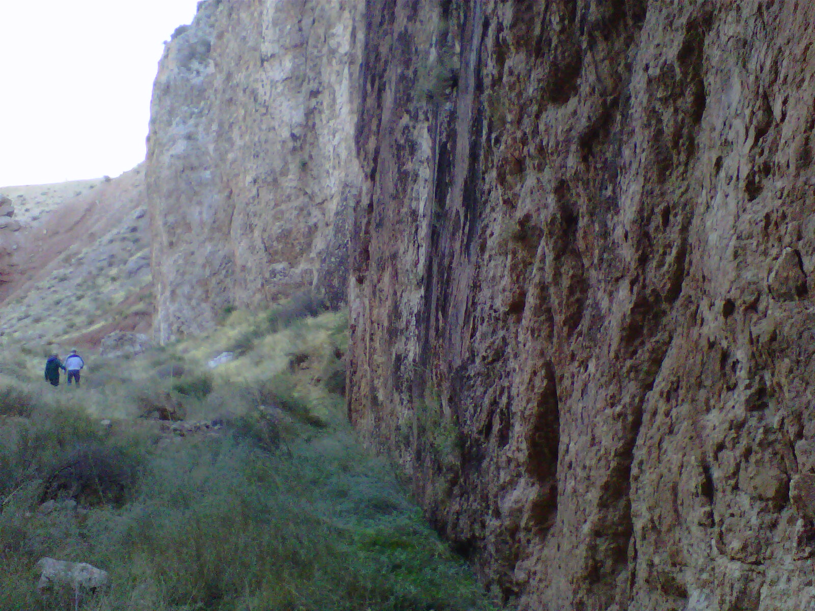
The Honeymoon Trail may be accessed at the N-S road from Hurricane, UT, starting at 600W on the road to the local airport. Follow this road to the AZ border and cross a dry wash there. Look for a sign HONEYMOON TRAIL, and drive to the top of the cliffs. You will pass a large SPIRAL in the cliffs, where SLICKENSIDES, ROTATING CLIFFS, and uplifted GYPSUM lies along the road shoulder. You have just crossed a widening crack- which is advancing CCW, as the spiral proceeds on a 1000 year cycle. Drop into the canyon which ends in a slot or BOX, and you will see marks where the rotation has left SLICKENSIDES:


THERE ARE A NUMBER OF INTERESTING FEATURES IN THIS AREA- REQUIRING ONLY A SMALL AMOUNT OF CLIMBING, WHICH YIELD SIGNIFICANT INFORMATION ABOUT THE DYNAMICS OF THE EARTH- FIRST OF WHICH IS THE SPIRALING UPWARD OF THE 200 METER CYLINDER OF SEDIMENTARY ROCK:


 ABOVE CALCULATIONS ARE NOT VERY ACCURATE, AND I MUST RETURN TO THE SPIRAL TO CAREFULLY MEASURE THE DISTANCE BETWEEN SUCCESSIVE "FLATS". THIS WILL APPRAISE THE INTERVALS BETWEEN Hf QUAKES OF SIGNIFICANT SHAKING; IT MORE LIKELY IS NEAR 256 YEARS SPACING.


FIRST, A DIAGRAM WILL BE HELPFUL FOR ANALYSIS OF THE MEASUREMENTS IN THE SLOT CANYON

RE-DOING THE ABOVE ANALYSIS, BECAUSE OF BLURRING:


No comments:
Post a Comment